Pinpoint Accuracy for Large Scale Precision Task
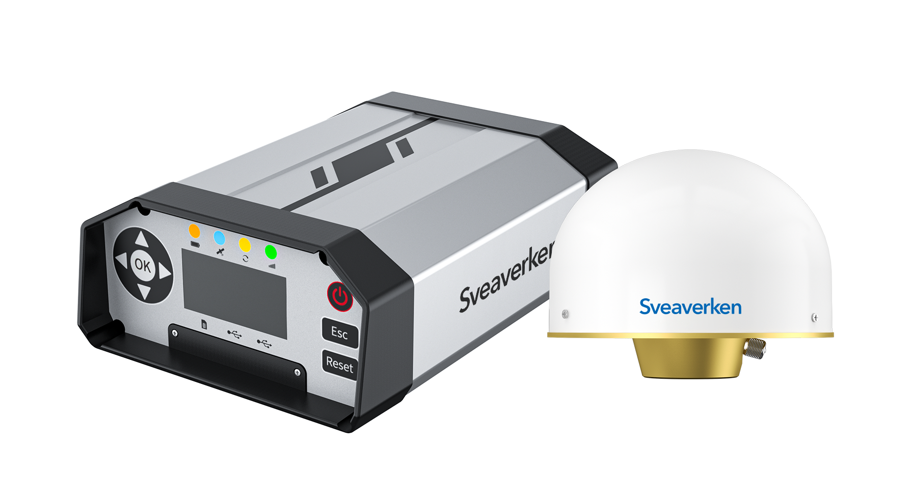
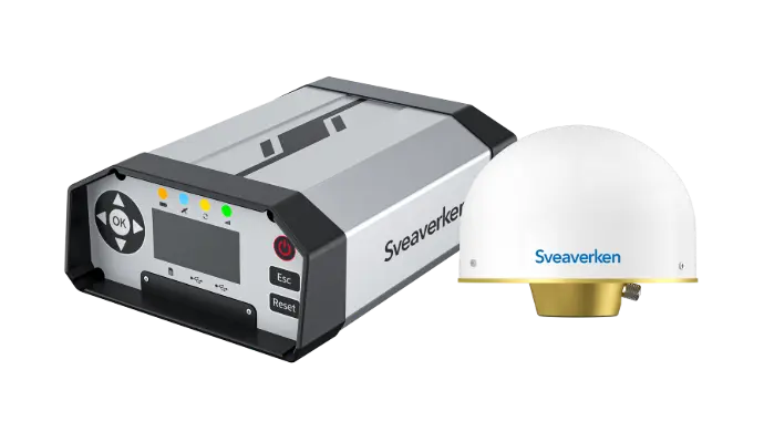
The Sveaverken N10 is a CORS network system that provides centimeter-level RTK accuracy for precision agriculture, surveying, and mapping. An internet-based solution that utilizes a multi-frequency approach for wide-area, high-accuracy positioning. Manage stations, accounts, and VRS calculations efficiently. N10 stands as the ideal option for both individual users and Ntrip service providers.

Large Scale Pinpoint Positioning
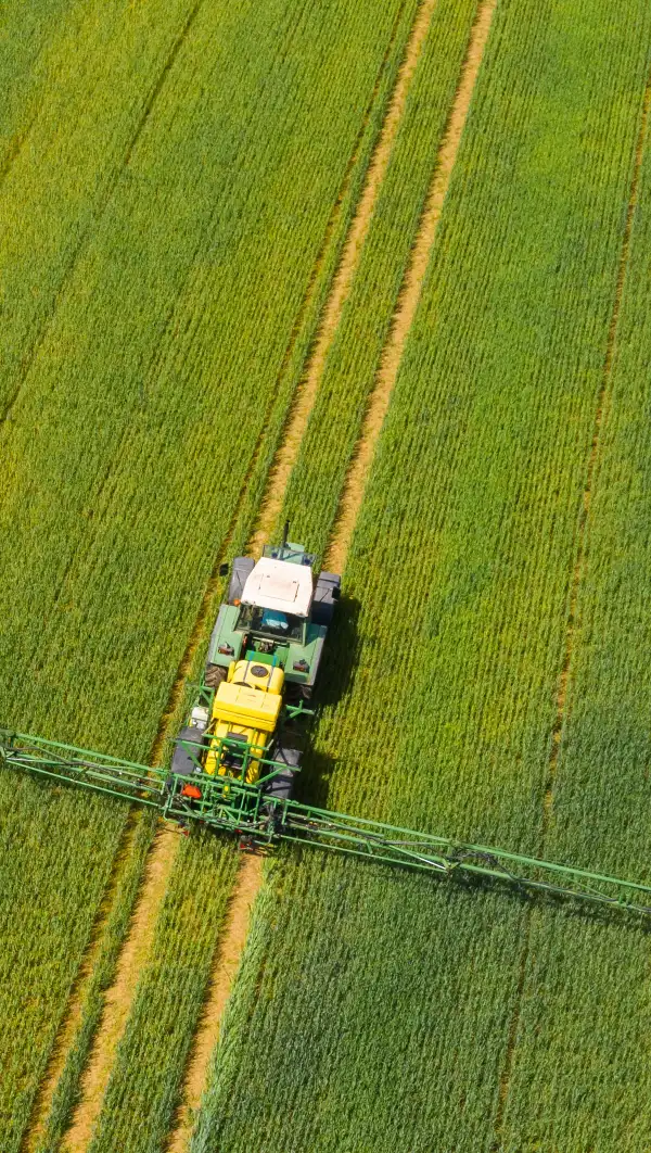
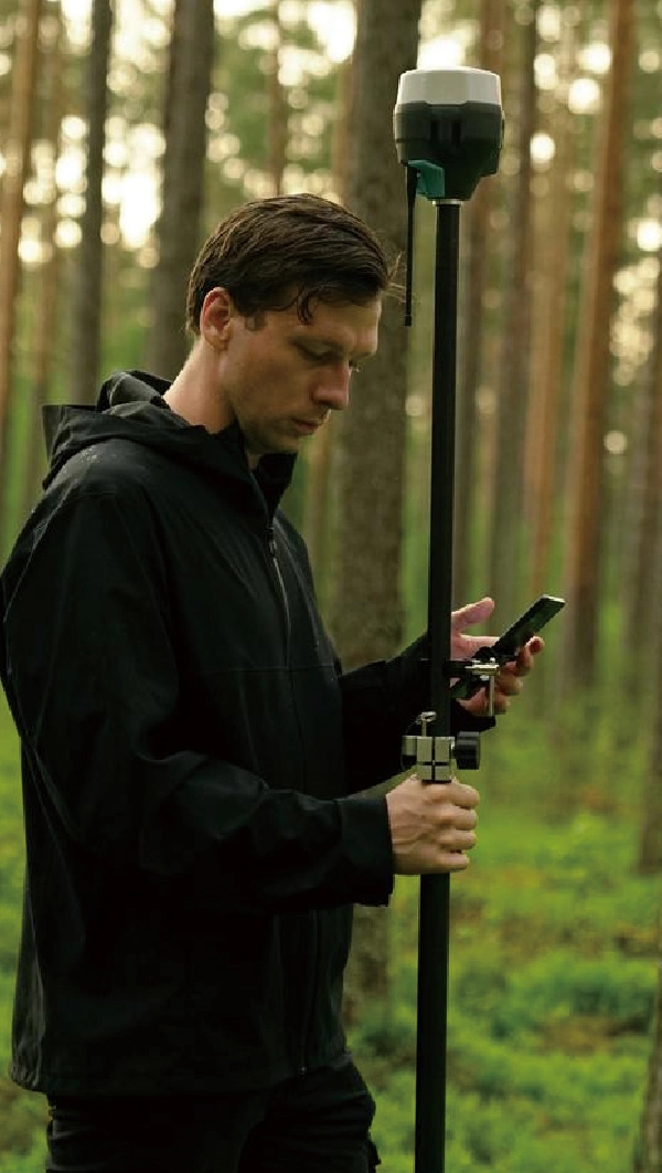
Achieve ±2.5cm rover accuracy across vast fields with multi-constellation & multi-frequency GNSS and VRS network for high-definition surveying, precision farming and robotic lawn mower.

Stable Network Transmission
Reliable GNSS signals you can count on, even in difficult environments with weak radio signals or obstructions.
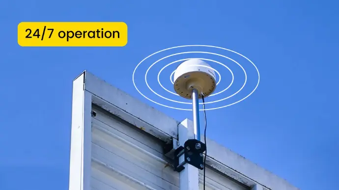
Reliable Performance
A complete built-in battery backup that lasts up to 24 hours, with AC power support for 24/7 operation, freeing you from power concerns.
Simplifed Workflow
An approachable design in both hardware and software, Sveaverken N10 CORS System (GNSS Receiver & FLBS Platform) handles everything from raw data collection to processing, delivering reliable high-precision positioning for diverse industries.
Data Transmission
The N10 GNSS Reference Station can continuously track and receive navigation satellite signals, collect raw observation data and transmit them to a data processing and control center.

Data Processing and Management
As a N-RTK platform, FLBS can process raw observation data from a reference station and the approximate user position from the end user side (rover), generate and broadcast differential data (RTK signal) via the network, ensuring real-time dynamic positioning of users in the area.
FLBS efficiently manages CORS via an easy-to-use reference station management, RTK account management, user management solution, with timely fault detection and warnings.
Built for End-Users or Partners
With a flexible configuration, N10 provides two working modes, single-station RTK and Virtural Reference Station (VRS), for different customer types.

Single-Station RTK
A differential method to process the raw observation data of one reference station and rover. Perfect for individual use!
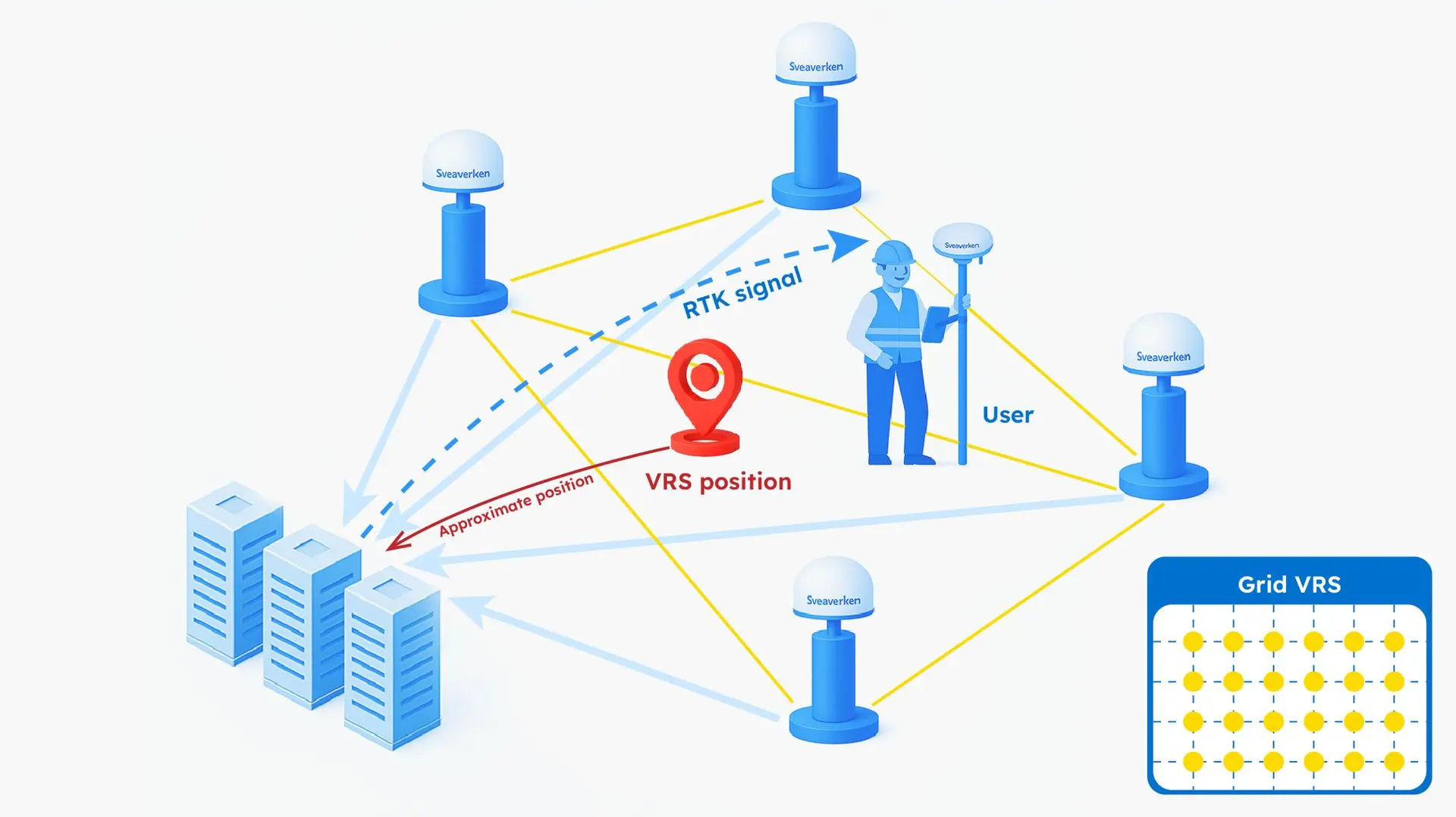
Virtual Reference Station
FLBS processes the raw observation data of multiple reference stations (≥3) within a internal range of 30-80km. Ideal for commercial use such as Ntrip service provision.
Hear from Our Customer
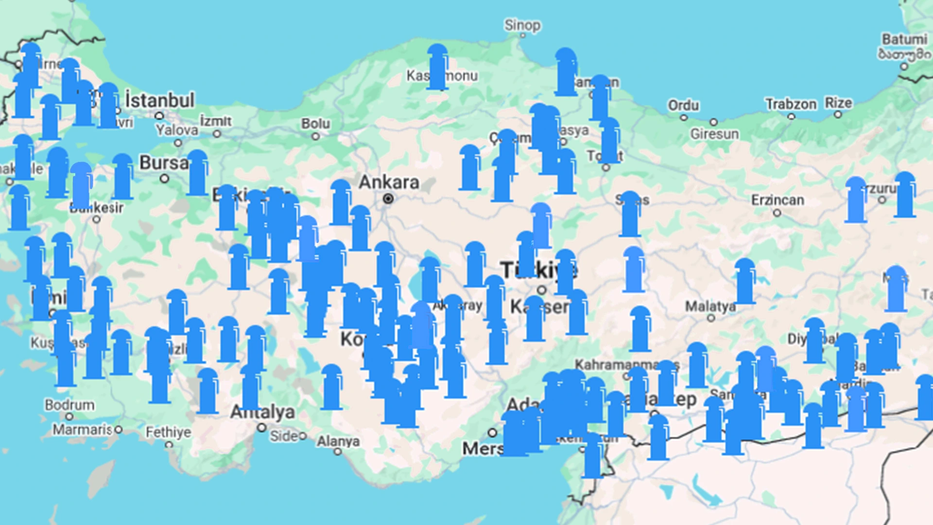
By deploying 130+ N10 reference stations, Turkish partner Ulusarp Otomotiv successfully achieved signal coverage in key agricultural areas, providing its customers with stable high-precision positioning signals and increasing the sales possibility of navigation kits by 30%. At the same time, the FLBS platform simplified the management of base stations and Ntrip accounts and after-sales services, reducing the occurrence of RTK signal errors by 90% and reducing after-sales operating costs by 80%.
For a Variety of Industries


Specifications
GPS L1C/A/L2P (Y)/L2C/L5
GLONASS L1/L2
Galileo E1/E5a/E5b
QZSS L1/L2/L5
Vertical: 2.5 m
Vertical: 1.5 cm+1 ppm
Vertical: 5.0mm+1ppm